
Satellite studies
Observe the ground.
Ground measurements, imagery and mapping from space.
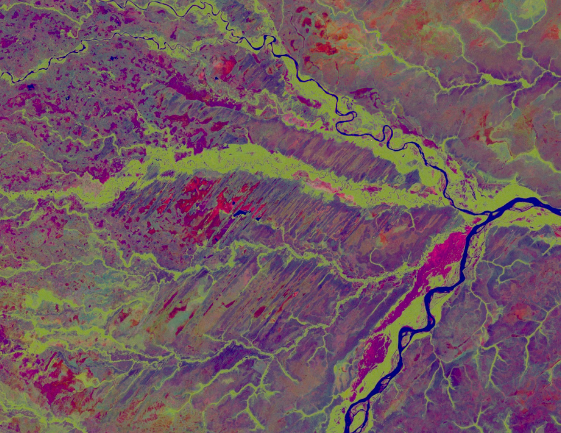
Understand how the ground evolves, from millimetric displacement to surface changes. We combine InSAR, optical imagery and multispectral analysis to inform each project.
InSAR displacement monitoring
Observe ground movement with millimetric precision.
Explore service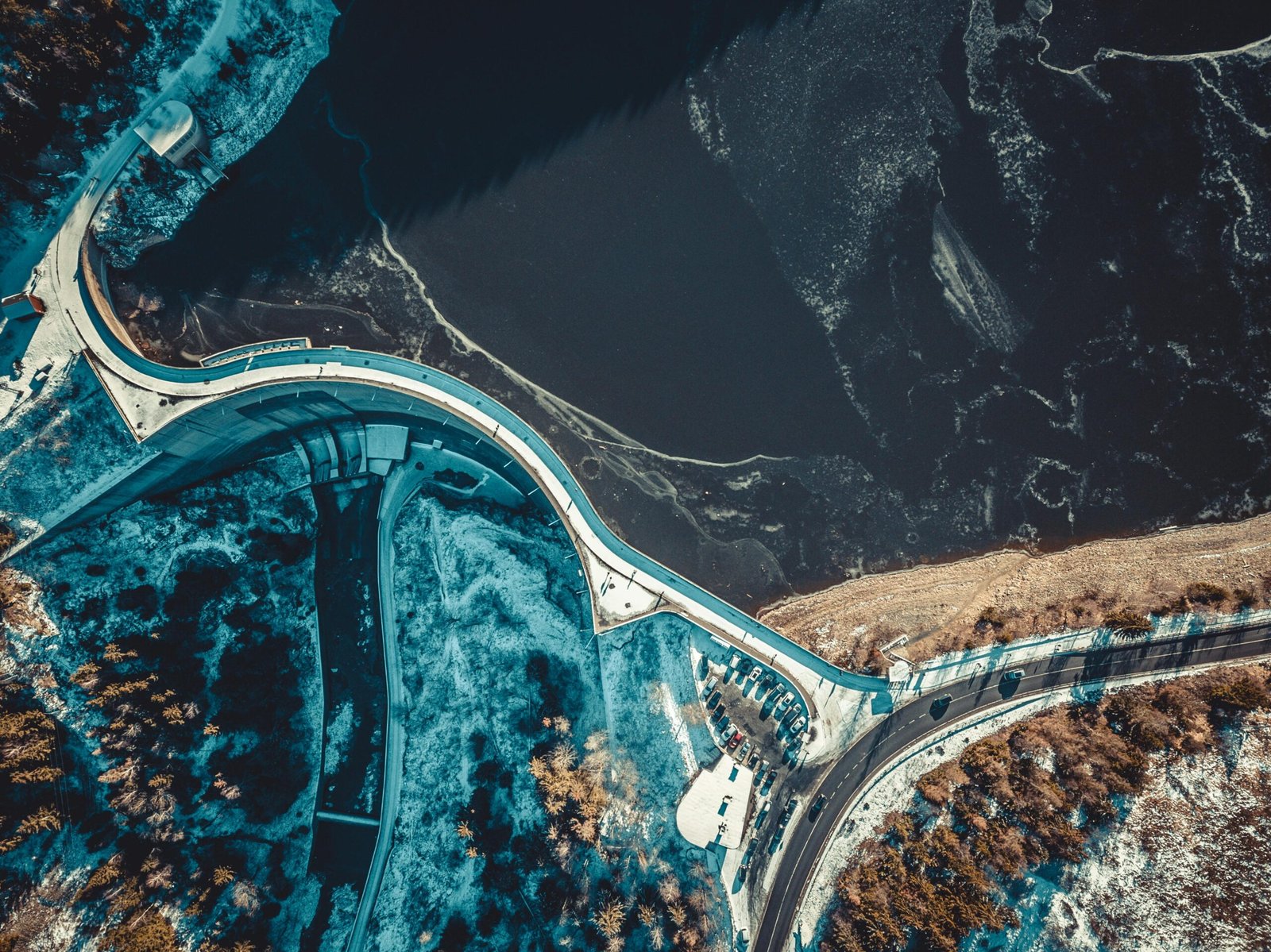
Multispectral analysis
Information on moisture, water and vegetation.
Explore service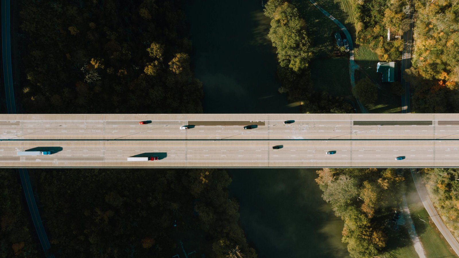
High-resolution optical imagery
A detailed view of the surface and its changes.
Explore service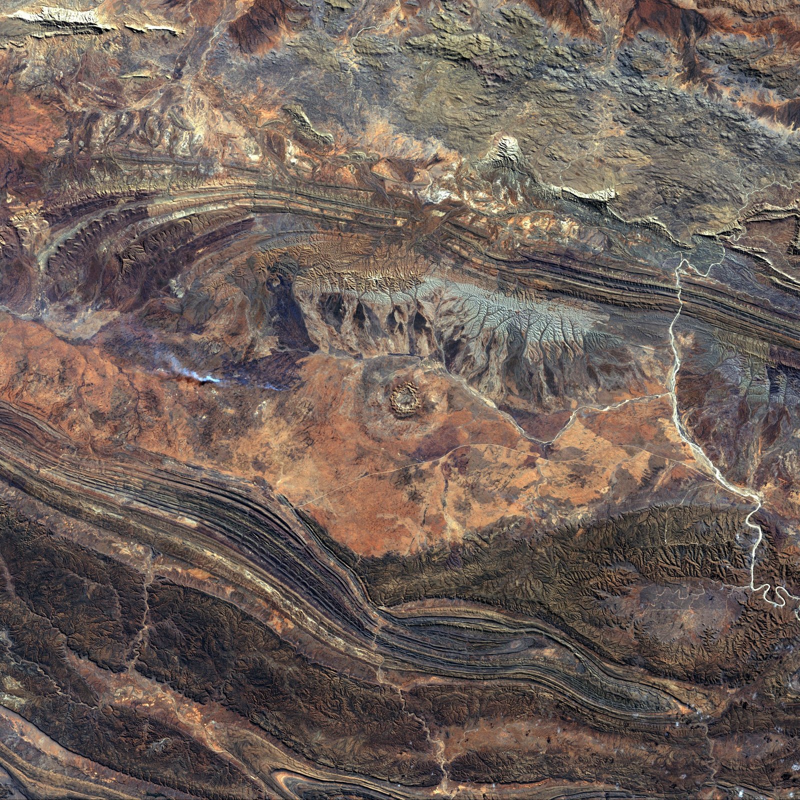
Satellite topography and mapping
Digital models to understand your territory.
Explore serviceAPPLICATIONS
Data for your industry.
EVERY PROJECT STARTS WITH A CONVERSATION
Let’s talk about your ground.
Tell us what you need to monitor. Together, we’ll find the right approach.