
Field instrumentation
Prisms, piezometers, inclinometers, radar, GNSS, weather stations and IoT sensors.
ARDA / AUGMENTED REALITY DATA ACCESS
The platform that connects surface instrumentation and satellite data with the real context of your operation.
YOUR INFORMATION, CONNECTED
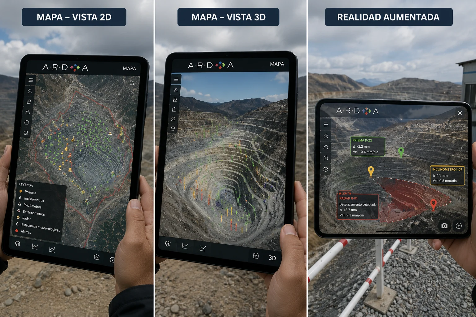
ARDA integrates, manages and displays geotechnical instruments, InSAR data, mapping and 3D models. Explore your operation from the office or directly in the field.
Prisms, piezometers, inclinometers, radar, GNSS, weather stations and IoT sensors.
InSAR, optical imagery, LiDAR, drones and other geospatial products in a shared environment.
Integration with SCADA platforms, databases, telemetry and third-party monitoring software.
ARDA IN ACTION
Discover the platform in this demonstration. Use the player to pause, adjust the volume or watch in full screen.
FROM THE DESK TO THE FIELD
Instruments and InSAR results in a georeferenced view of your operation.
Digital models to explore measurements spatially and understand their surroundings.
Data overlaid on the real asset using mobile devices or augmented reality headsets.
MONITORING AND ALERTS
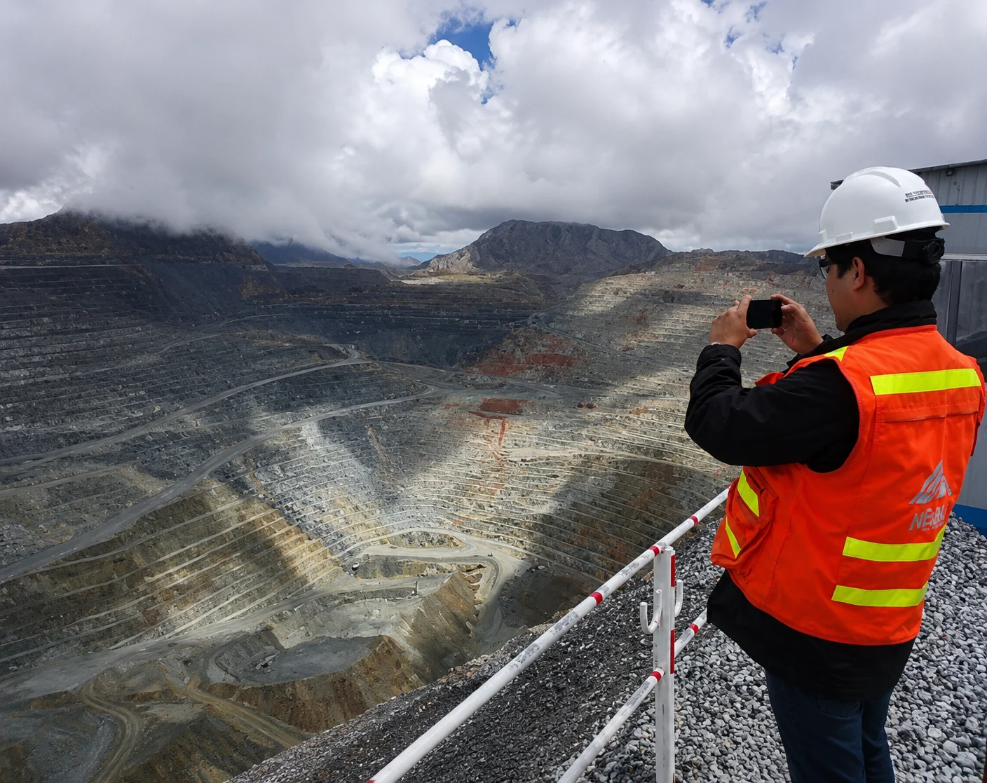
Define custom thresholds and view georeferenced measurements. ARDA supports notifications to mobile devices, email or the web platform.
EVERY PROJECT STARTS WITH A CONVERSATION
Tell us what you need to monitor. Together, we’ll find the right approach.