
Instrumentation
Measure in the field.
Monitoring networks designed around your project.
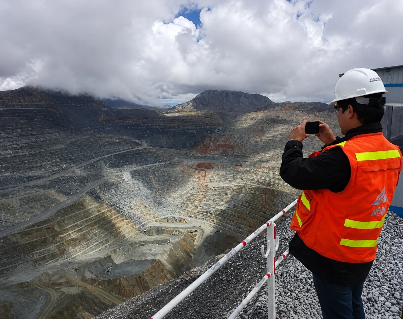
We design and implement geotechnical and surface instrumentation networks, from equipment selection and installation to data acquisition, transmission and integration.
Network design
We define instrument locations, types and configurations according to each project’s characteristics and risks.
Supply and installation
We implement piezometers, inclinometers, extensometers, survey prisms, GNSS stations, environmental sensors and other geotechnical instruments.
Acquisition and communications
We develop acquisition, storage and transmission systems using wireless networks, telemetry and connectivity adapted to the operating environment.
Commissioning and integration
We configure and verify monitoring networks and connect measurements to platforms such as ARDA to centralize information and manage alerts.
EVERY PROJECT STARTS WITH A CONVERSATION
Let’s talk about your ground.
Tell us what you need to monitor. Together, we’ll find the right approach.