
Satellite studies
Multispectral analysis
Information on moisture, water and vegetation.
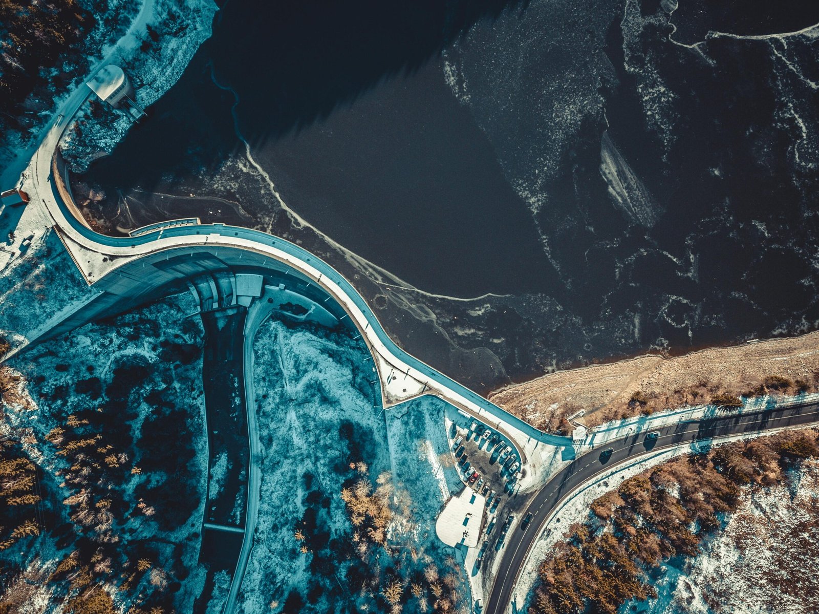
We process multispectral imagery to study ground moisture, detect water bodies and assess vegetation cover and condition.
Moisture and water pathways
Normalized Difference Water Index (NDWI), water body detection, flow pathway identification and moisture mapping in tailings dams and watercourses.
Vegetation and time-series analysis
We assess vegetation and its evolution using NDVI, SAVI, EVI and NBR. Time-series analysis enables comparisons over time.
EVERY PROJECT STARTS WITH A CONVERSATION
Let’s talk about your ground.
Tell us what you need to monitor. Together, we’ll find the right approach.