
Satellite studies
InSAR displacement monitoring
Observe ground movement with millimetric precision.
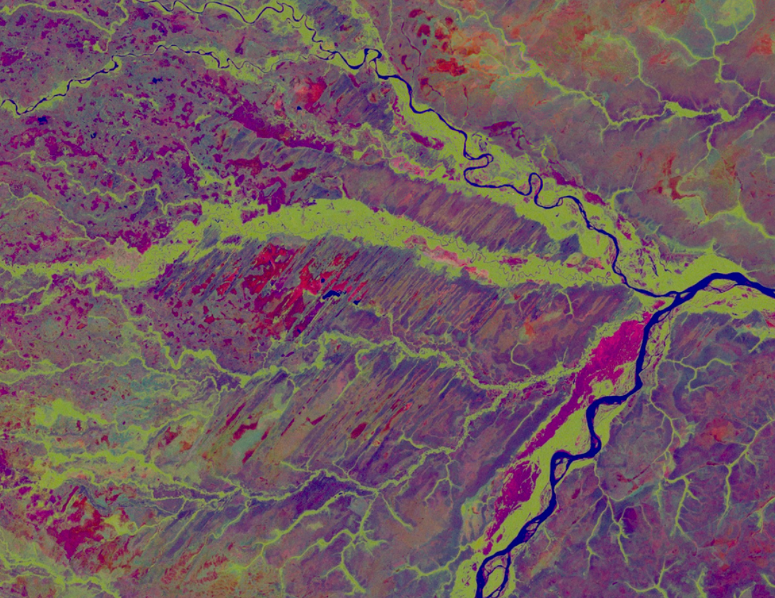
We measure ground displacement over time using RADAR satellite imagery. Geotechnical interpretation helps identify movement trends and precursors of instability in slopes and infrastructure.
Regular monitoring
Monitoring programs agreed with each client, with updated information on ground behavior. Frequency depends on the project and available satellite platforms.
Historical analysis
Archives dating back to 1992 support displacement history studies and monitoring baselines. We analyze acceleration and deceleration processes and potential correlations.
Interpretation for your project
We combine measurements with geotechnical context to support mining, infrastructure, and oil and gas monitoring.
EVERY PROJECT STARTS WITH A CONVERSATION
Let’s talk about your ground.
Tell us what you need to monitor. Together, we’ll find the right approach.