
Satellite studies
High-resolution optical imagery
A detailed view of the surface and its changes.
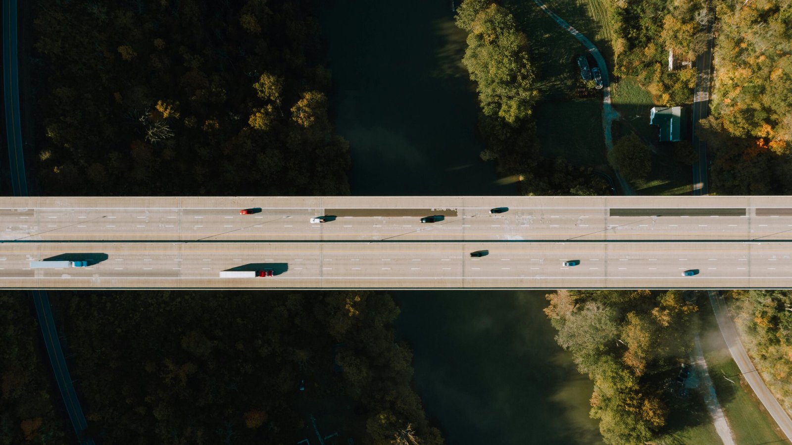
Satellite imagery for change detection, object identification and visual monitoring of construction and ground activities, with worldwide coverage.
30 and 50 cm detail
Very high-resolution imagery for surface analysis. We select the appropriate product for the project’s area and needs.
Archive and new acquisitions
Archive imagery from 2003 and on-demand acquisition scheduling, with frequencies of up to one day subject to availability.
Ready for analysis
We provide comparative studies, orthorectification and cartographic projection.
EVERY PROJECT STARTS WITH A CONVERSATION
Let’s talk about your ground.
Tell us what you need to monitor. Together, we’ll find the right approach.